BMCE follows a precise and systematic approach to ensure every 3D topographical survey is accurate, detailed, and tailored to project needs. Their method integrates advanced technology with deep topographic engineering expertise to deliver reliable data for planning, design, and construction.
BMCE utilizes cutting-edge tools such as GNSS receivers, total stations, and laser scanning topographic survey equipment to collect high-resolution spatial data. This technology allows for fast and precise mapping of terrain, structures, utilities, and natural features.
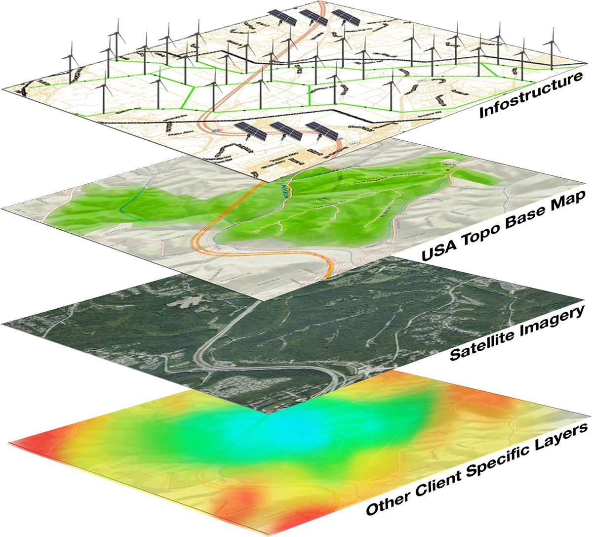
Collected data is processed into accurate 3D topographical models using specialized software. This includes elevation points, contour lines, and feature mapping, which are essential for engineering analysis, design development, and construction site survey and planning.
Once the 3D data is validated, BMCE generates detailed topographic survey drawings that visualize the land’s surface, elevations, and key site elements. These drawings are formatted to meet the technical standards required by architects, engineers, and regulatory bodies.
Before final submission, the survey results undergo rigorous quality control checks to ensure precision and completeness. BMCE then delivers the final outputs in digital and/or hardcopy formats, along with any required technical documentation, ensuring that clients receive dependable, actionable information.
Our Services Inculdes:
- Data Analysis
- Data Conversion
- Enterprise GIS
- Topology Construction
- Spatial Analysis
- Land Records and Cadastral Solution
- Topographic Survey
- Road & Trans. lines Alignment
- Cadastral Survey
- Boundary Relocation Survey
- Canals and Drains
- Rivers and Lakes
- Land Title Registration & Processing
- As-built Construction Survey